|
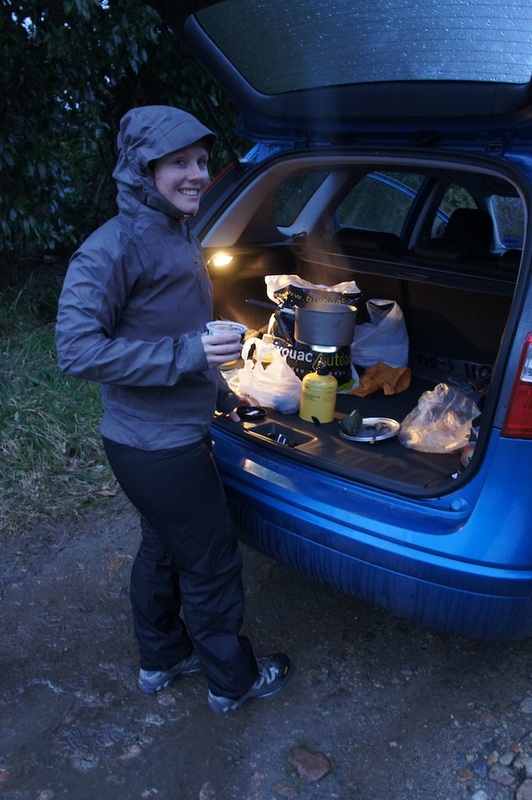
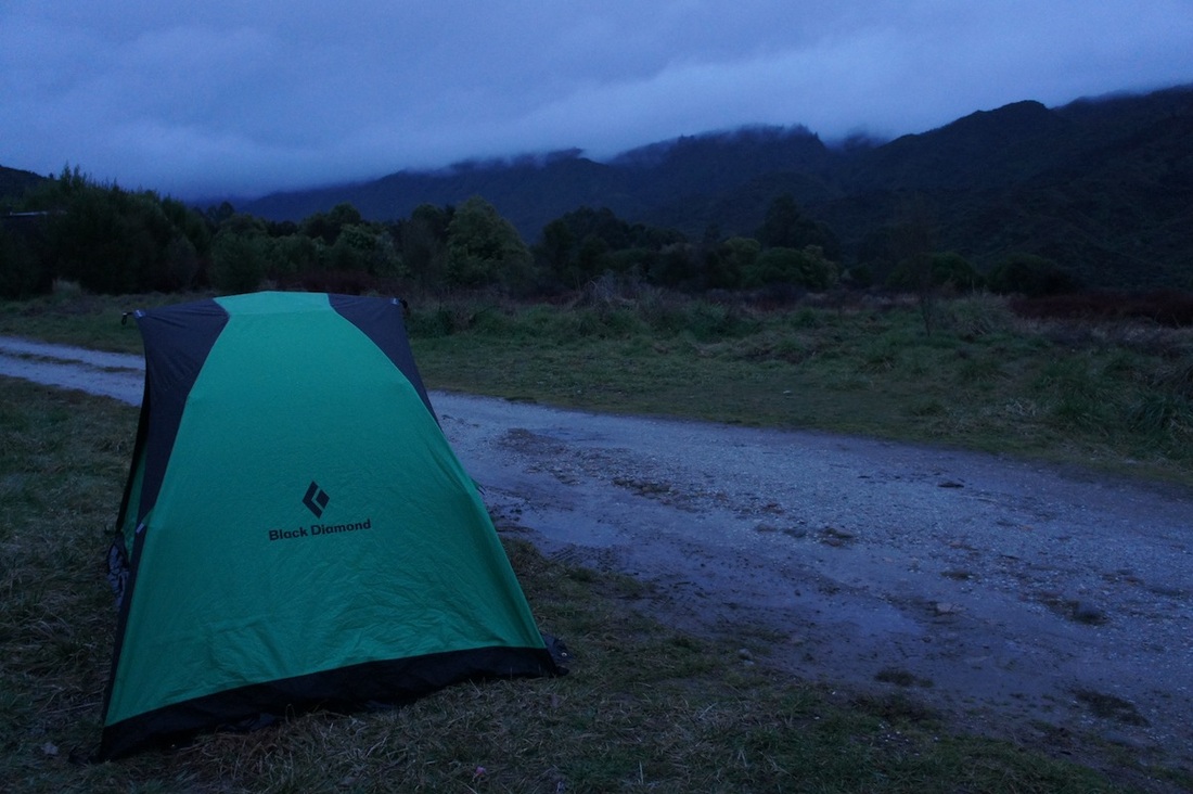
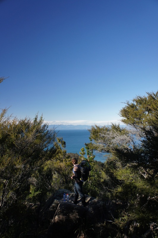
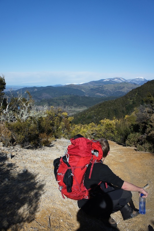
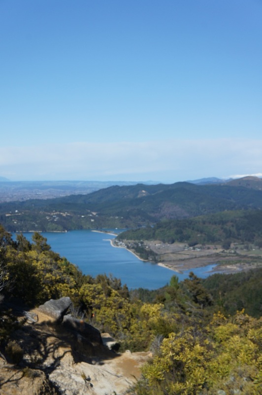
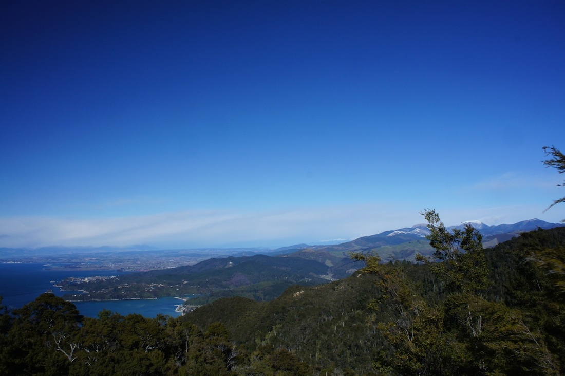
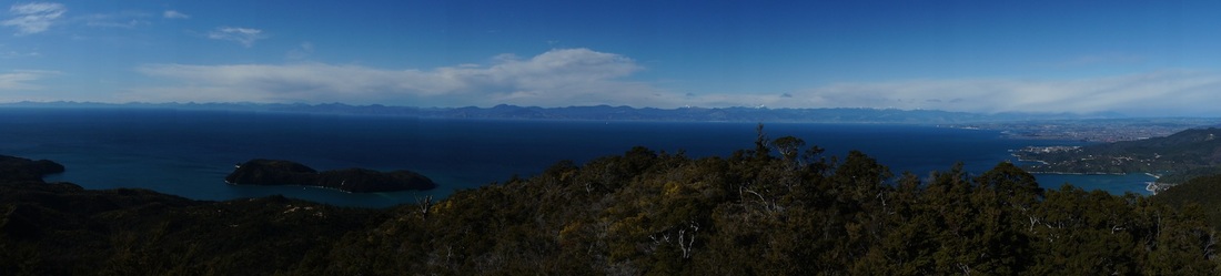
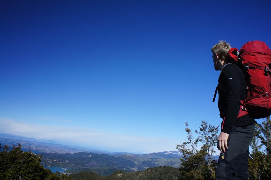
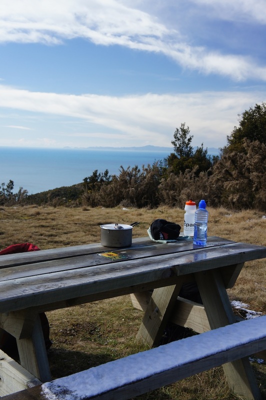
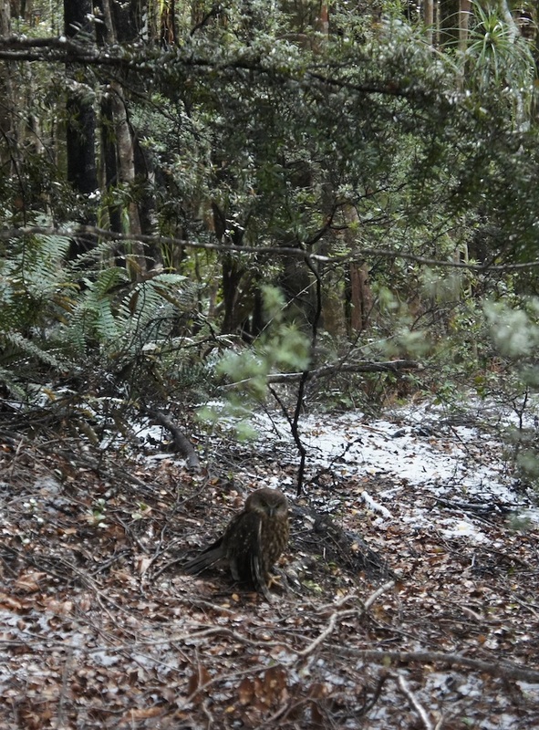
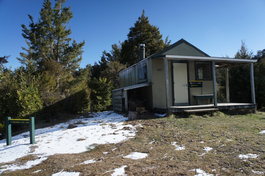
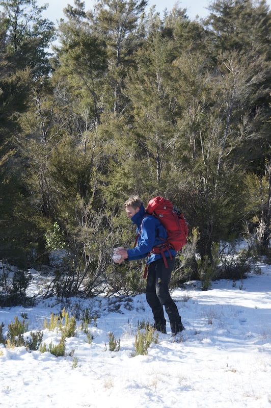
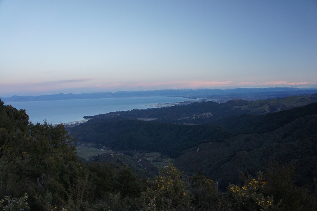
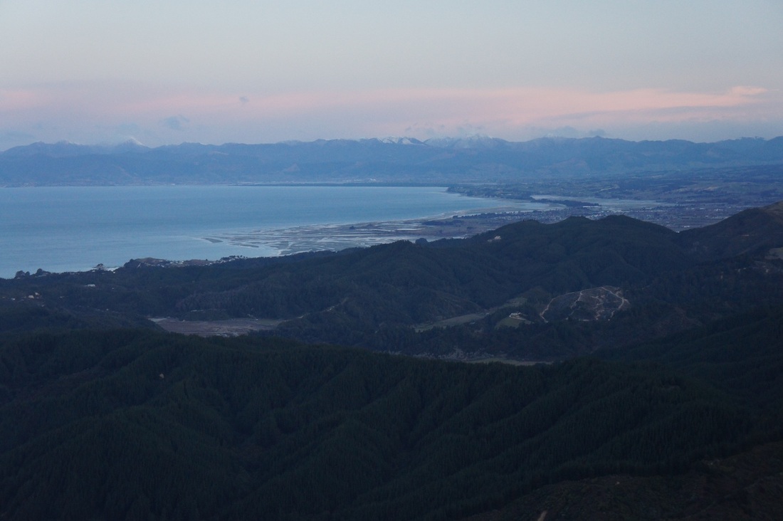
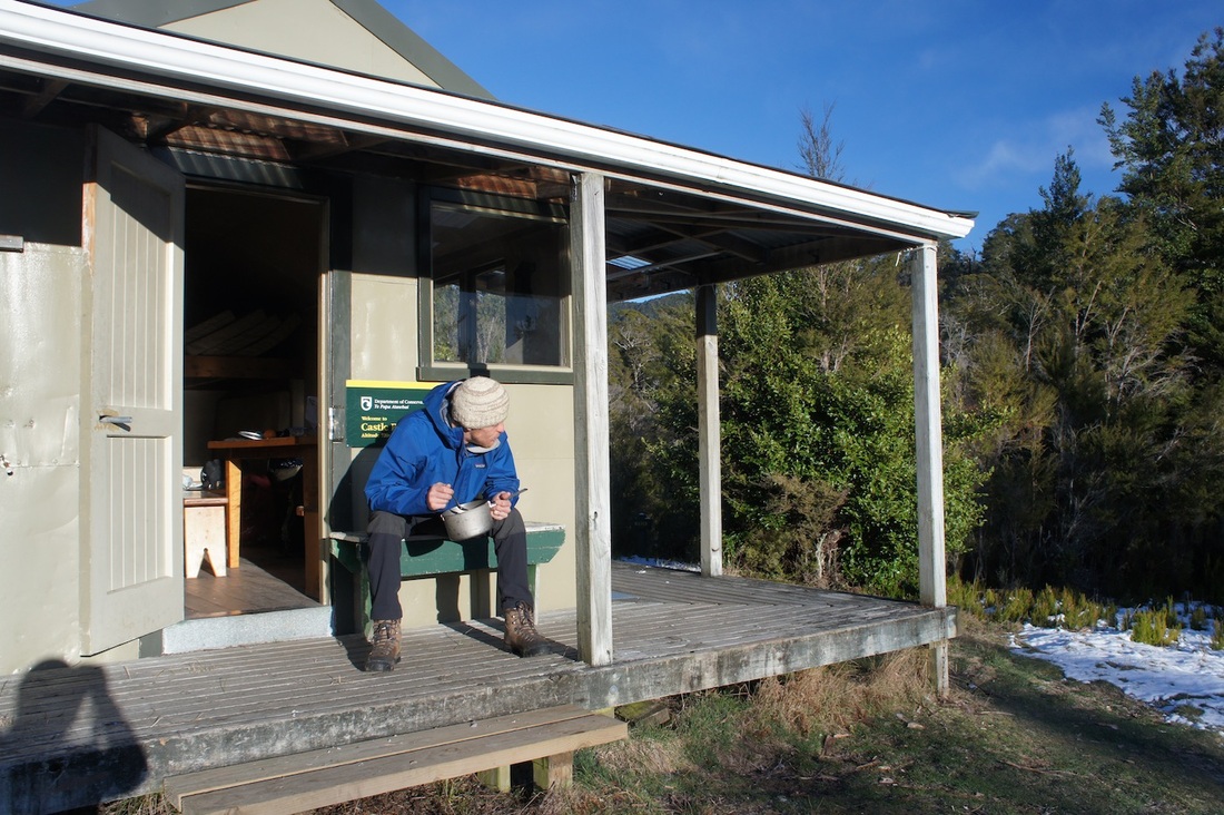
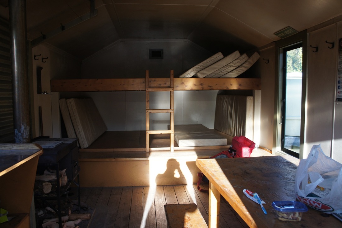
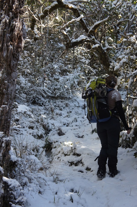
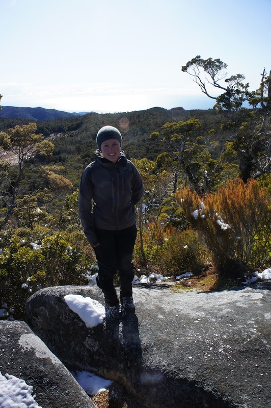
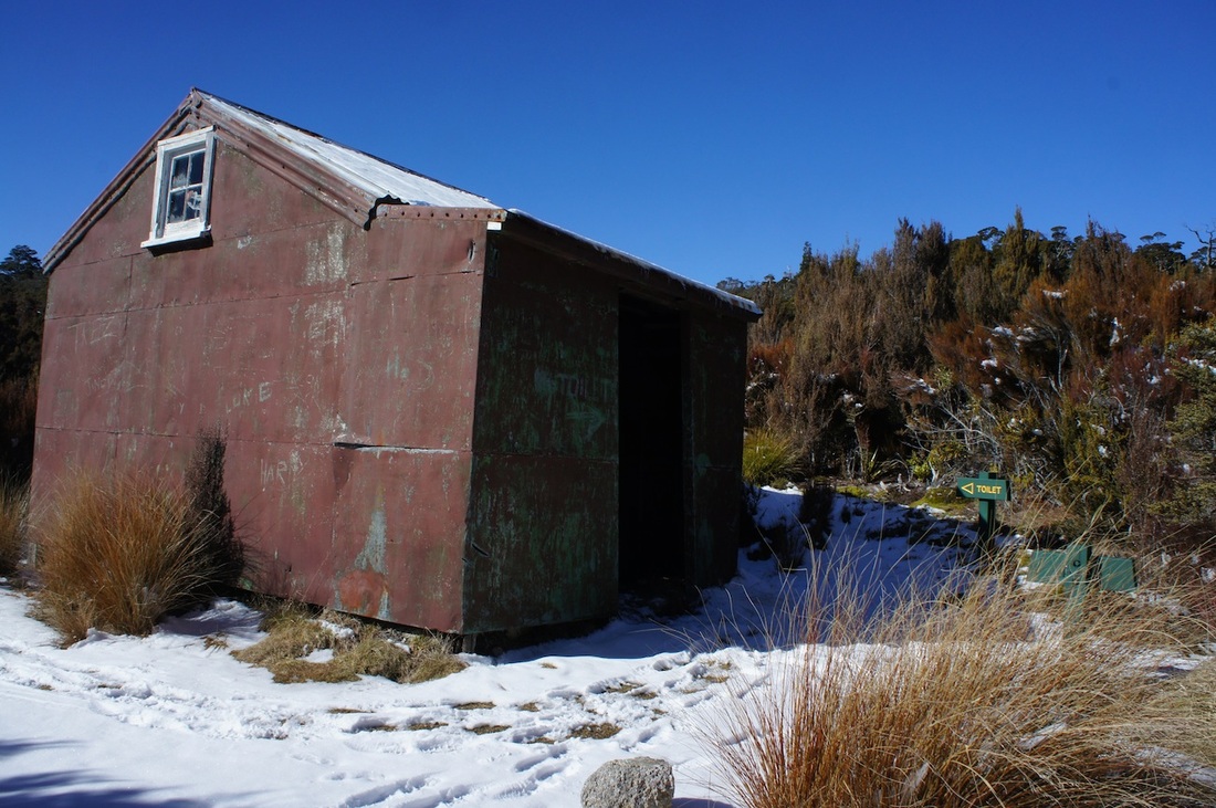
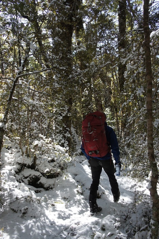
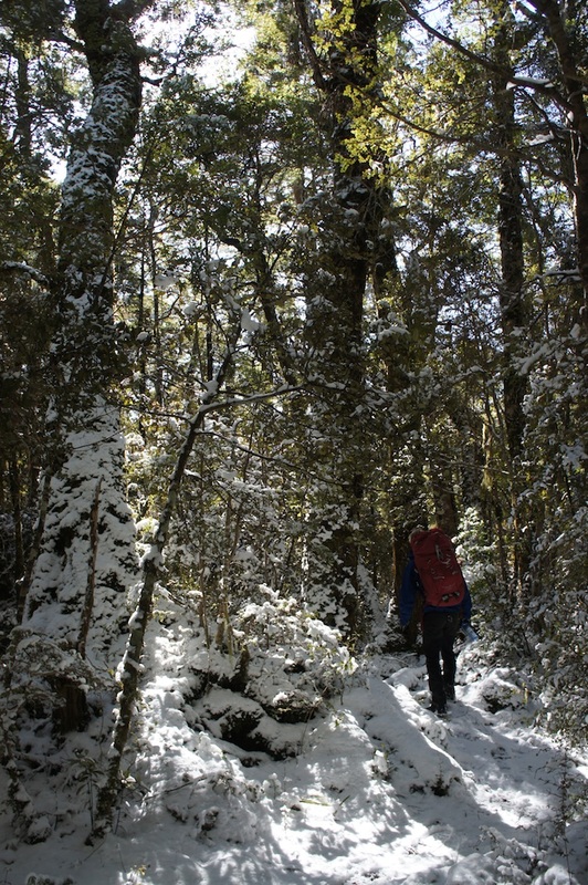
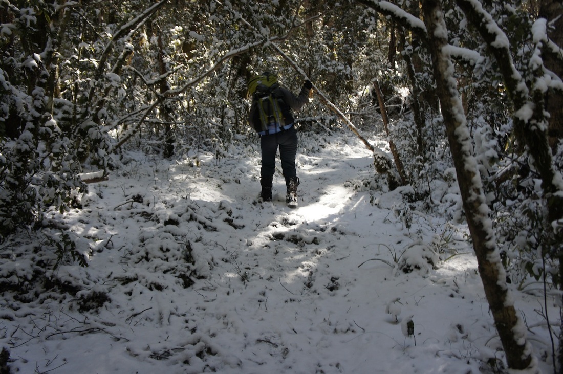
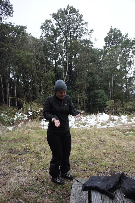
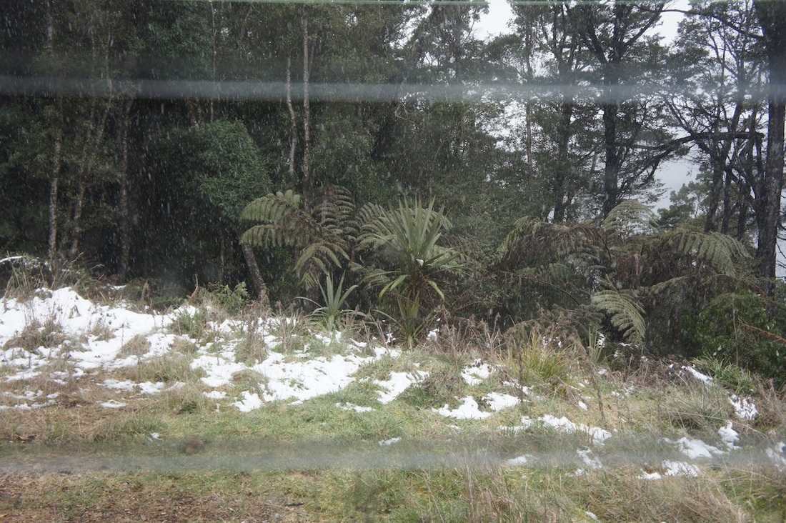
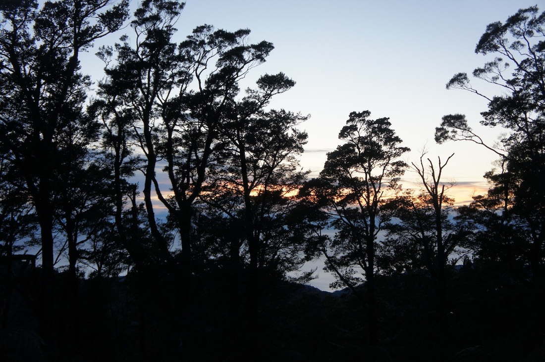
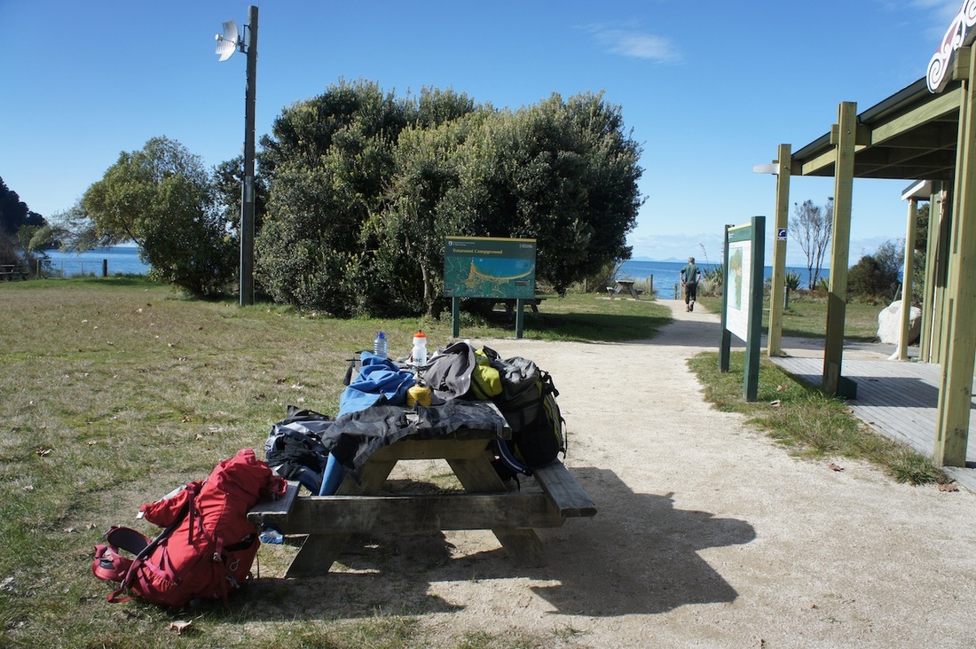
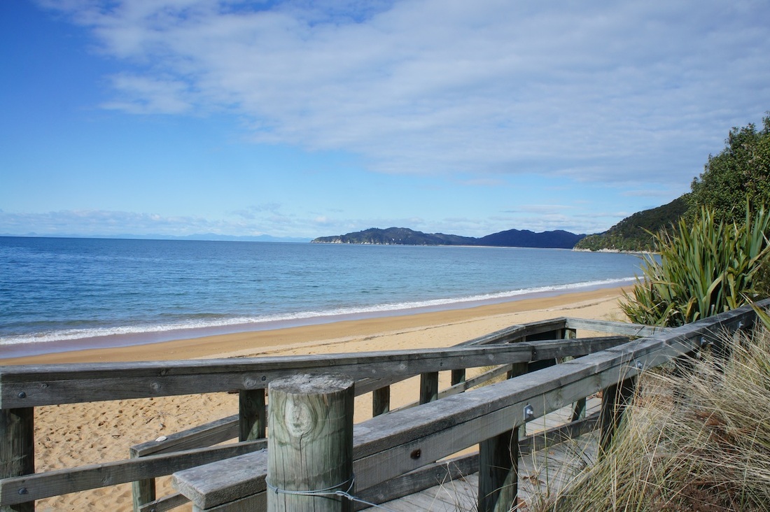
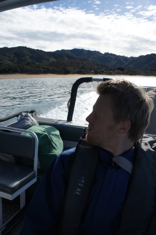
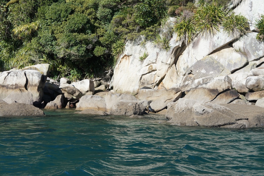
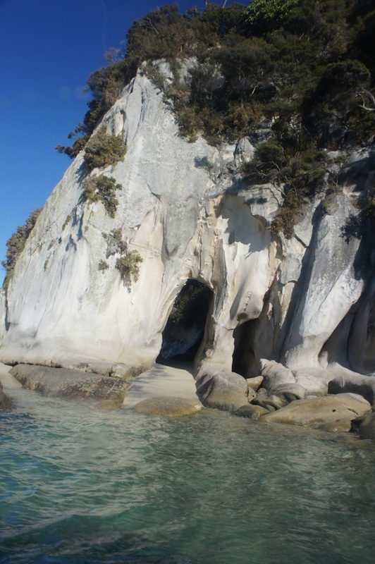
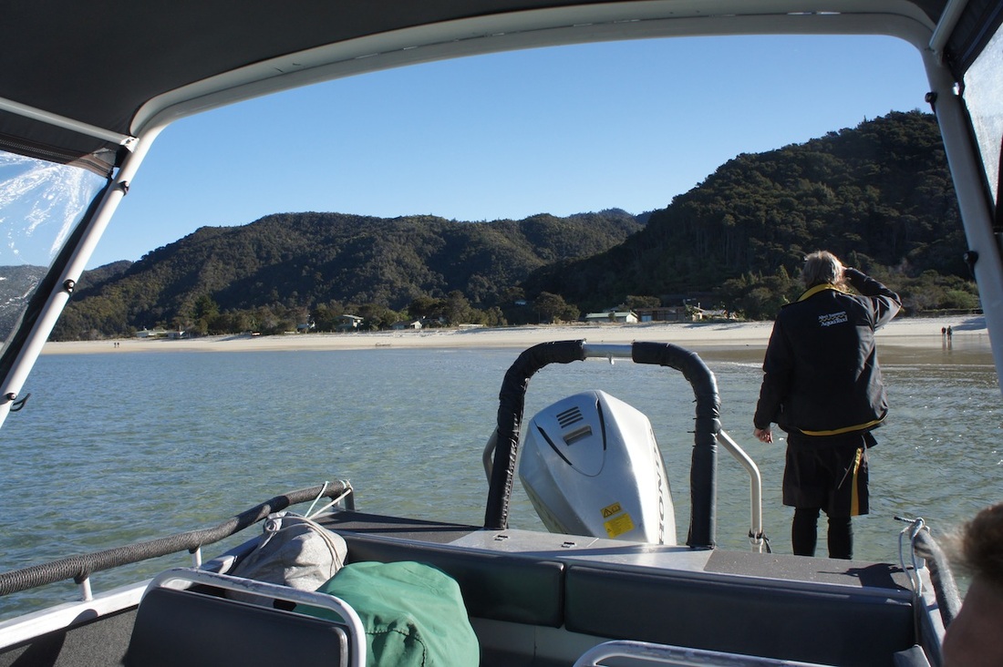
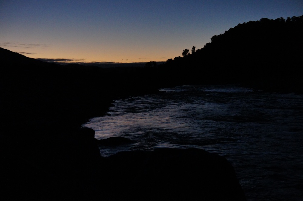
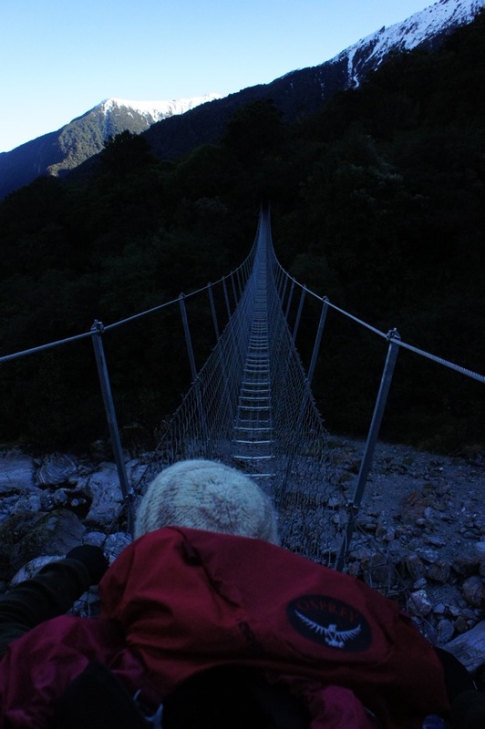
In August last year we hiked the Abel Tasman inland track. The hike took us 4 days and we covered around 60km's over that period. As you can see from the images the track begins at the ocean and traverses a ridge above the coast. The ridge reaches an elevation at its highest point of just over 1100 meters. The night we arrived a storm rolled in, and despite the area being on the northern most section of New Zealand"s South Island the track and the ridge received a dumping of snow that was up to 50cm deep in places. The first day began at an altitude of 0 and climbed a steep trail. By the time we got to a clearing at an elevation of around 600 meters we were surprised to see the snow from the night before. Climbing further we made the first hut where we lit a smoky fire, chopped some wood, cooked some food and hung out our wet things to dry. By the third day, and after having already hiked and climbed for several days through snowy icy forest and grassy alpine plains my knees began to swell up and it felt as though bone was grinding on bone (it reminded me of when I had to quit soccer in my teens because the pitches were just too hard for my knees to cope). Because of this we cut the hike short a day and hiked back out to the coast. On the coast we found an unmanned hut and called a ferry service to come and pick us up. After only an hour or two the ferry arrived. Speeding along the coast, bumping over the waves and spotting seals bobbing near the rocks we sadly realised that this was our last NZ adventure for this trip. Despite the sadness we were still on a high at the incredible beauty that we'd witnessed in our short time here... and we promised each other we'd be back again for more (with some super potent sand fly killing spray!!).
2 Comments
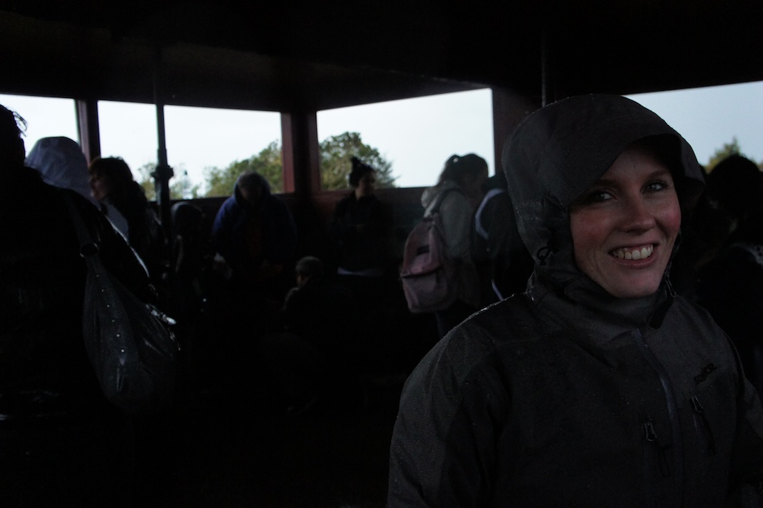
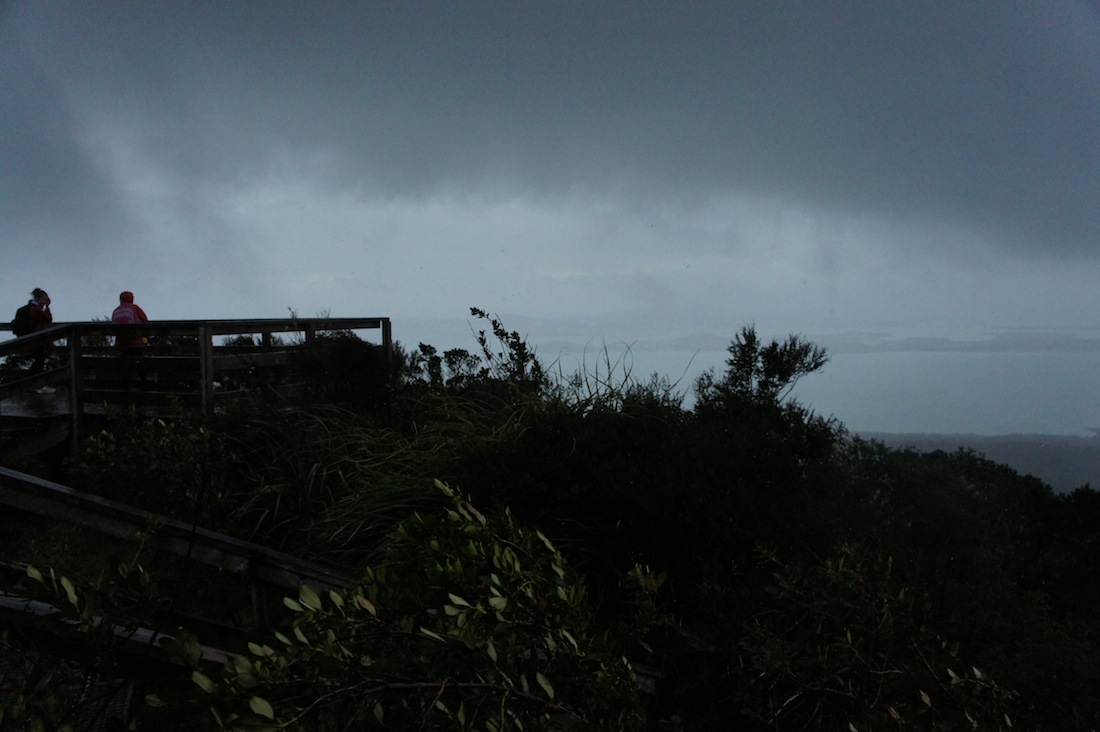
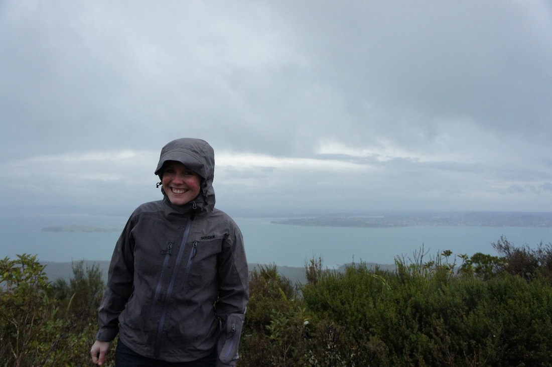
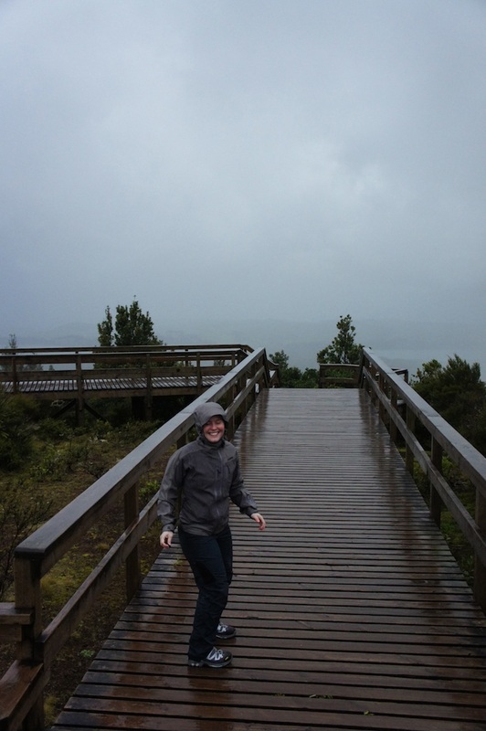
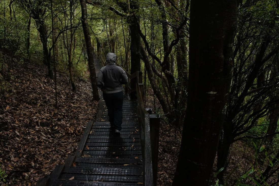
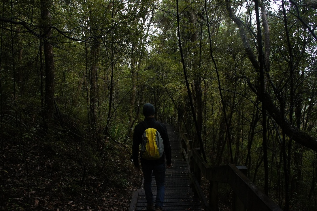
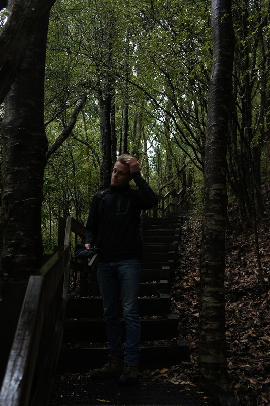
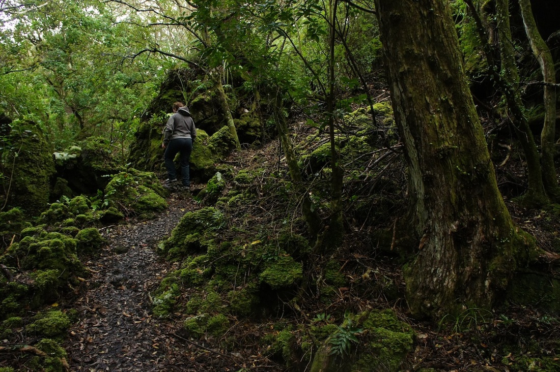
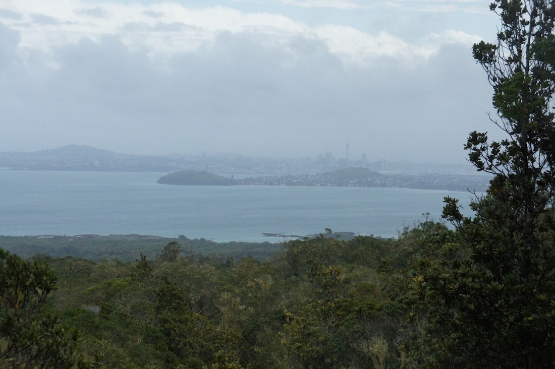
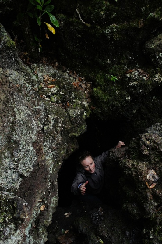
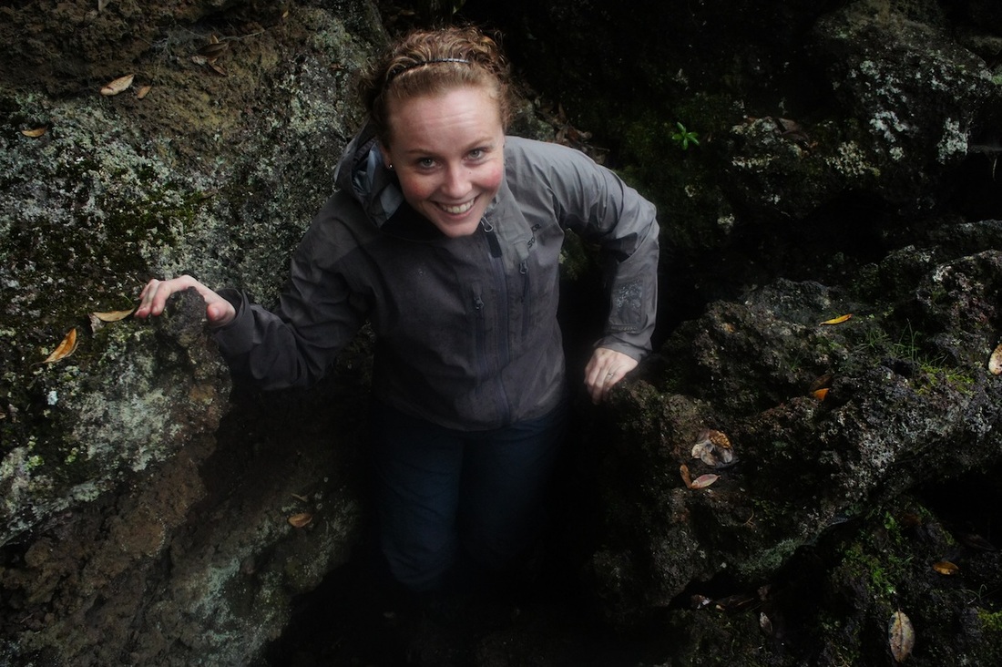
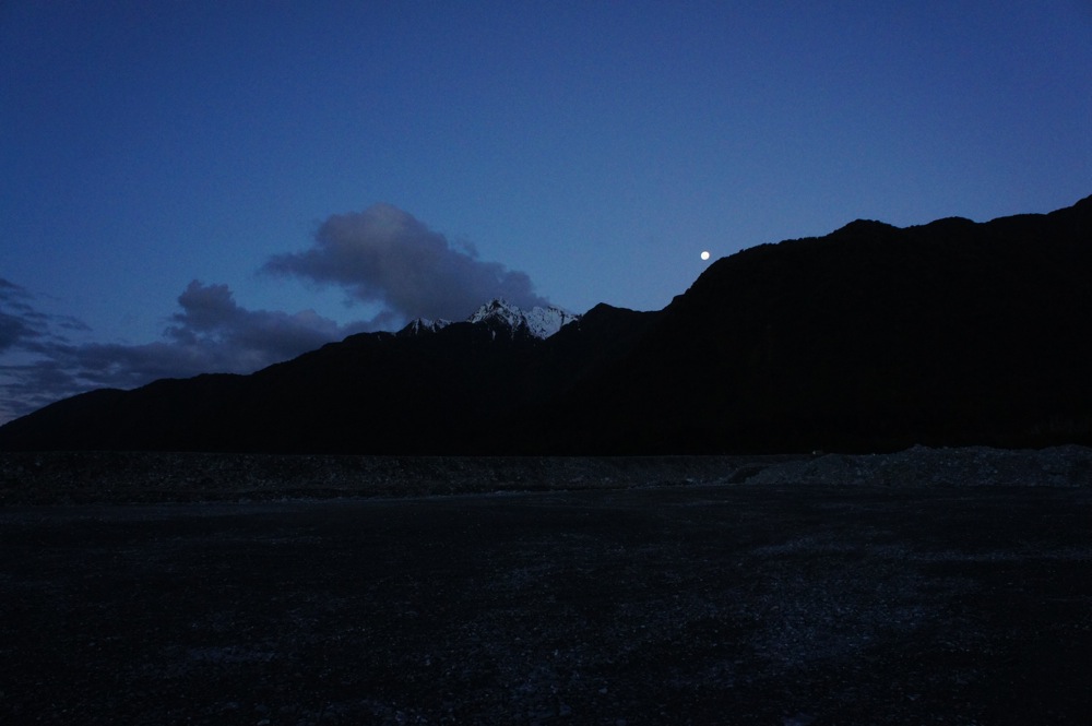
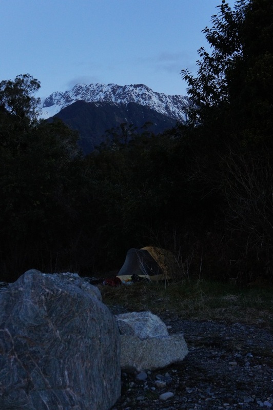
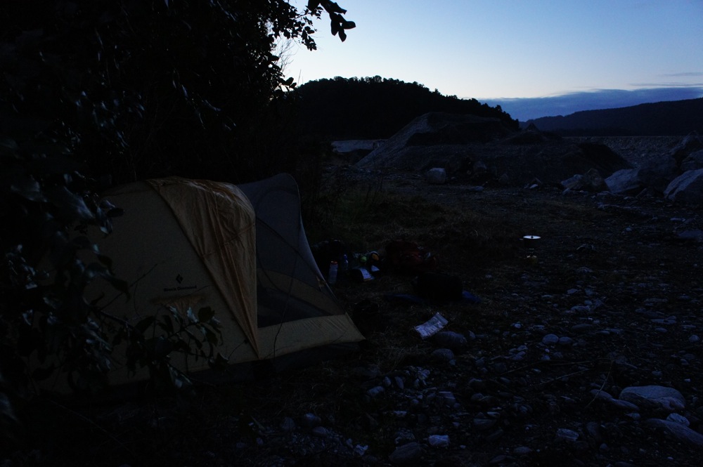
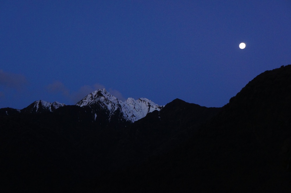
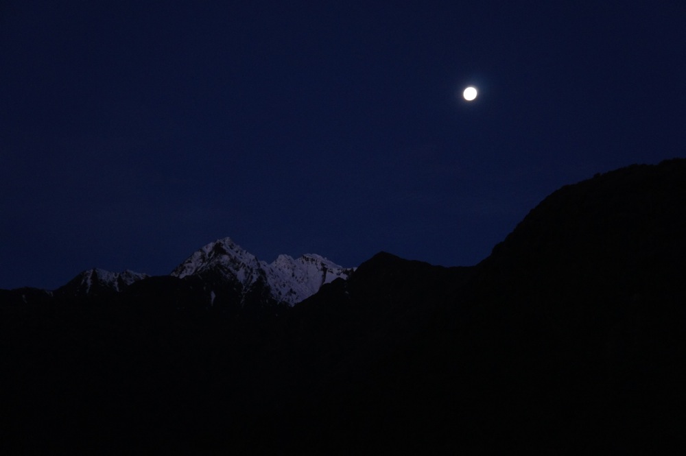
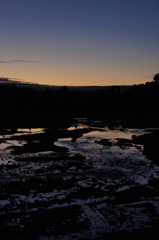
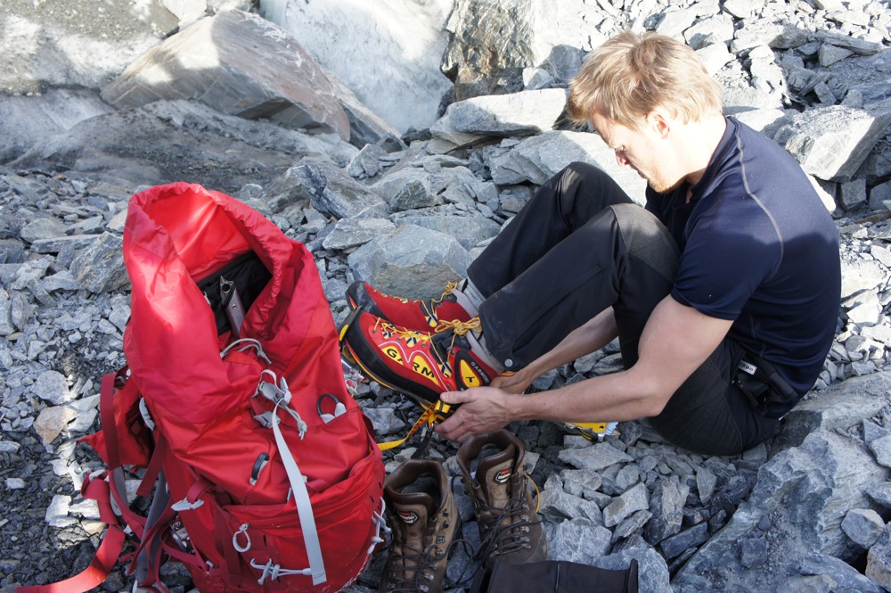
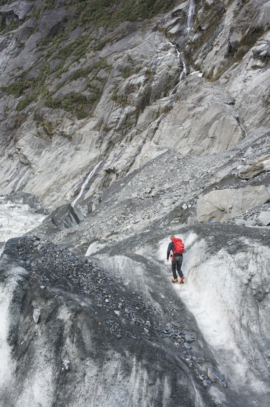
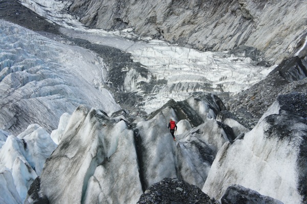
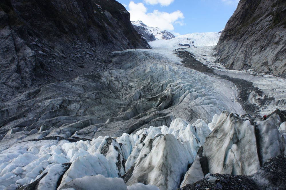
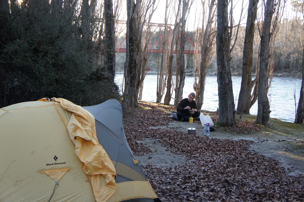
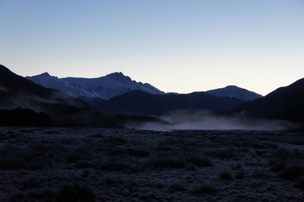
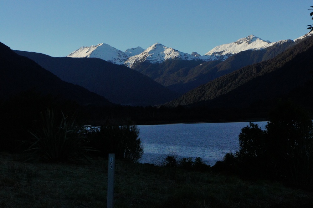
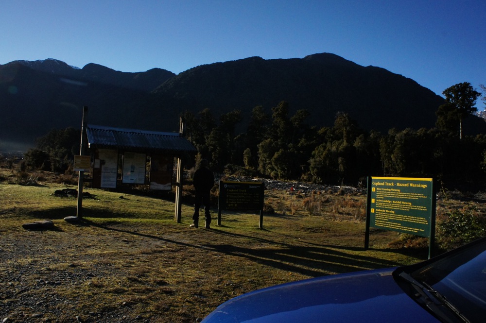
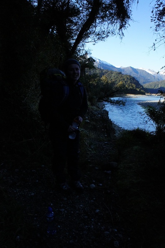
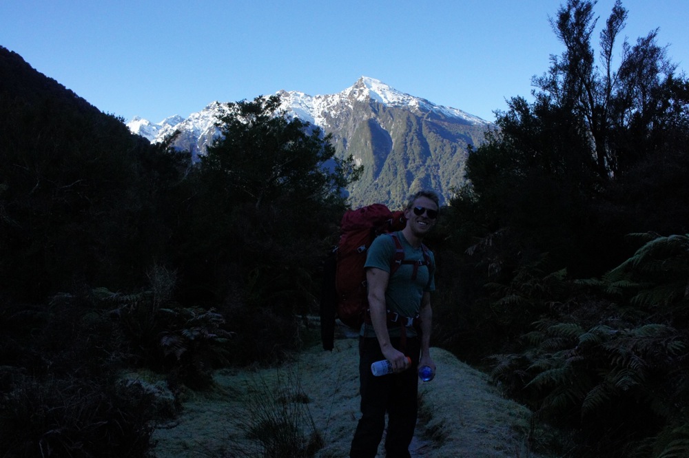
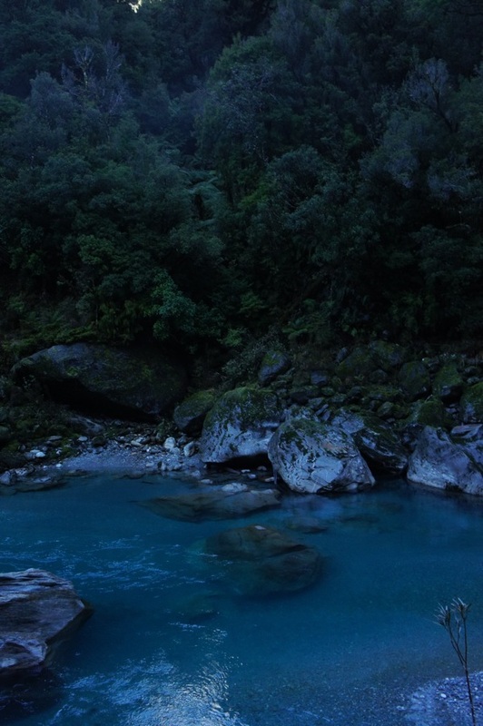
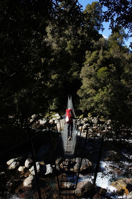
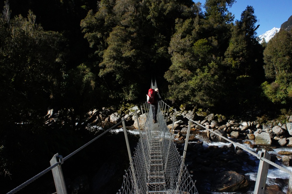
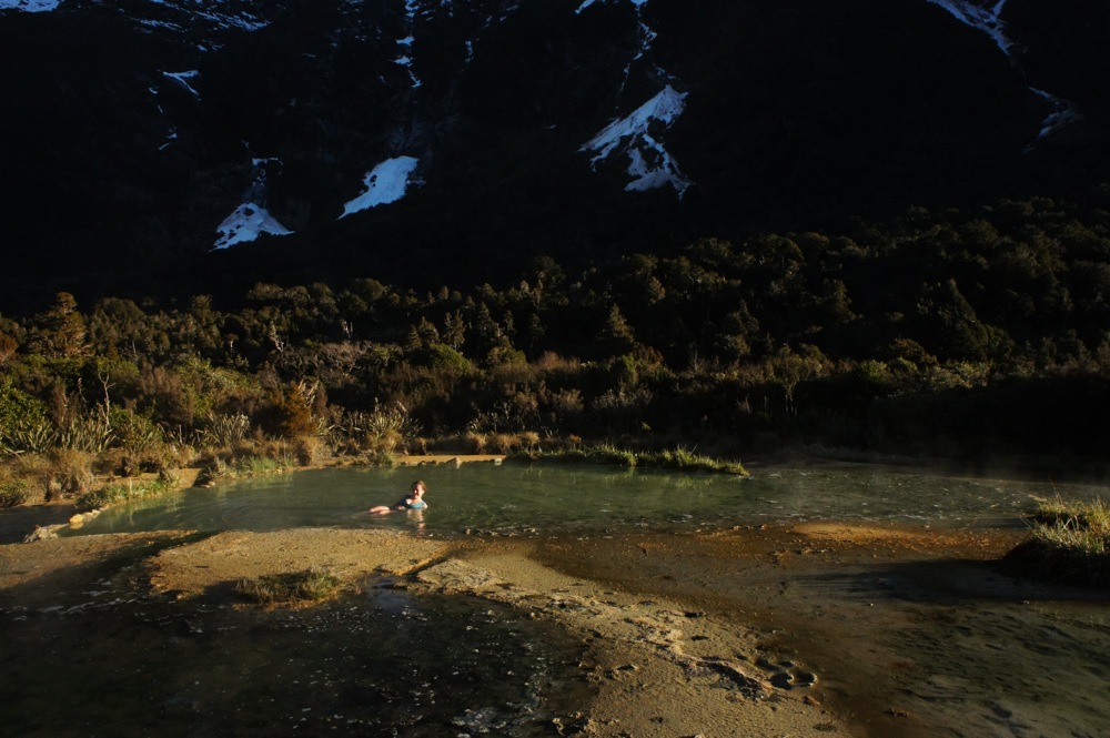
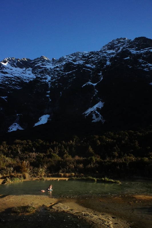
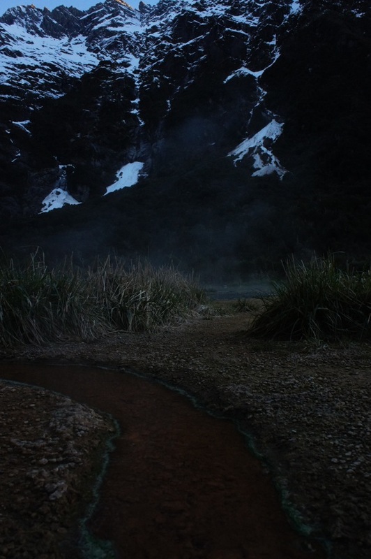
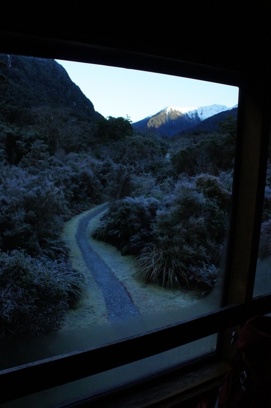
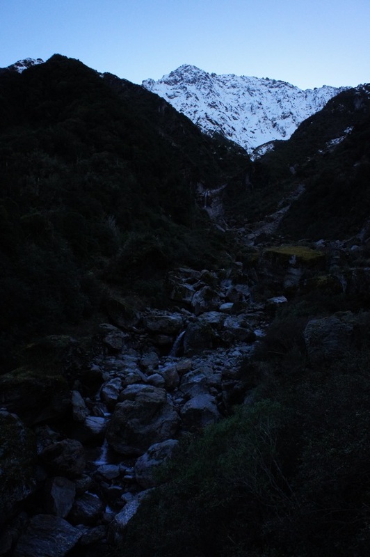
As part of our August 2011 trip to New Zealand we spent a few hours on Rangitoto Island off Auckland. It's a half hour ferry ride to the island and it offers great views of the city if you hike to the top of the volcano remnants. The day we went was rainy and the ferry ride was very bumpy. When we arrived, and hiked to the top, the wind and rain picked up. Near the top we joined crowds of others huddling from the rain in a shelter. As the rain cleared a little we headed out to get photos of the city in the distance. After the hike to the top we decided to check out the lava caves. At first I was a little scared to go in, but the voices of some children in the caves reassured me there was nothing to worry about. The caves were very interesting and we explored a few of them before heading back to the ferry. In August 2011 we spent two weeks hiking in New Zealand, primarily on South Island. We had our own crampons and ice picks with us, so Sam was keen to hit a glacier. We spent a night camping just a few kilometres from the Franz Joseph Glacier National Park in what seemed to be a quarry. Sam took some beautiful photos of the sunset and moon! The next morning we drove to the car park and prepared to walk to the glacier. It's about a half hour walk to the base glacier and despite some drizzle it was a busy morning on the track. When we got the end the way up to the glacier was chained off with notices saying to go no further. But we could see organised tour groups up ahead so we ducked under the chains and kept following the track. I was very nervous that we'd get in trouble but Sam convinced me to keep going. It was quite a climb and we got pretty warm by the time we found ourselves on the ice and right with some tour groups. A couple of the guides asked us what we were doing but we just spoke confidently that we were going out there and no one stopped us. Turns out you are allowed to go out on your own. Sadly though, I chickened out. I was too scared by the thought of cravasses and slipping on the ice (despite having crampons). So I stayed behind and Sam went exploring on his own. He said he'd be an hour... and I sat on the ice waiting, getting colder and colder. As I watched the tour groups leave I realised I would have been fine out there. There were unfit people, old people, kids, people in shorts... It seems the tracks are very well made and this area is very safe. I regretted not going out there! I got too cold so I walked back down. It was raining pretty hard now so I walked back to the car to get Sam some more warm clothes and some food for when he came down. It had been two hours and I was starting to worry, but when I got back to the base of the glacier there he was - huge grin on his face. Despite getting lost in the maze of ice and having to jump some crevasses sometimes, he'd had a great time. He'd even been offered a job as a guide while he was out there... In August 2011 we spent two weeks in New Zealand, primarily on the South Island. One of the tracks we did while we were there was the Copland Track to Welcome Flat. We decided on this one lured by the promise of natural hot pools at the top. The night before we started walking we camped overnight next to a river about two hours from glacier country. The temperature dropped below -5 degrees and it was one of the coldest nights of my life! We made an early start before dawn to be able to walk the Copland Track that day. The track starts about half an hour south of Fox Glacier. Just north of the Karangarua River bridge the Copland Valley is signposted and a small side road leads to a large parking area. The first thing you have to do is cross Rough Creek. It was running pretty low when we were there and we easily walked across. Although there is a flood bridge 45 minutes upstream if you can't cross Rough Creek it's unlikely the other creek crossings will be safe. After crossing Rough Creek, the track continues at the orange marker and follows a well formed path through the forest. The track is marked across open areas and river crossings by orange triangle markers on trees - they are usually pretty easy to see. There are a couple of spots where you have to keep moving due to the risk of rock falls, and we did hear a couple while we were walking, but overall there wasn't too much srambling and it's not too difficult. It is a long walk though, 17km, to Welcome Flat hut and the hot pools. So you need most of the day to do it. The night we stayed there was only the volunteer hut warden, another couple and us. We were glad there was no one else, because even with so few people the hut was echoey and upstairs in the sleeping area you could hear every footstep and whisper downstairs - it must get busy and noisy in summer! We only stayed one night and hiked out the next day. The other couple though were planning to stay a few days and do some day walks in the mountains. We walked out on a Friday and saw three more groups walking in. Even in the midst of winter it's a popular route. |
Hiking blogSome thoughts and pictures from some of the hikes we've done. Archives
May 2020
Categories
All
|


 RSS Feed
